
This tree caught my attention because it symbolizes the Solu Khumbu. The lower and middle hills are inhabited by Rias and Tamang people who use their surrounding resources, sometimes almost to the point of exhaustion. The mountains are inaccessible to most people and therefore remain untrammeled (with the exception of the normal routes on the most popular peaks which contain exuberant amounts of fixed rope). This is similar to this tree which has been stripped of nearly all it's branches except for those inaccessible at the top.

These mani stone are carved with Bhuddist mantras. It is customary to walk past these stones on the left, clockwise, as a reminder to incorporate ceremony in our daily lives.

Our Rias porter passing mani stone on the left.

We hiked past this really old stupa on the day after flying into a dirt airstrip at Phaplu. When the Khumbu Beyal (a safe haven that exists as a metaphysical location) was opened to the outside world in the 1950's, the only way in was the 80 mile hike from Jiri. Phaplu is a little less than half the distance to Lukla from Jiri.


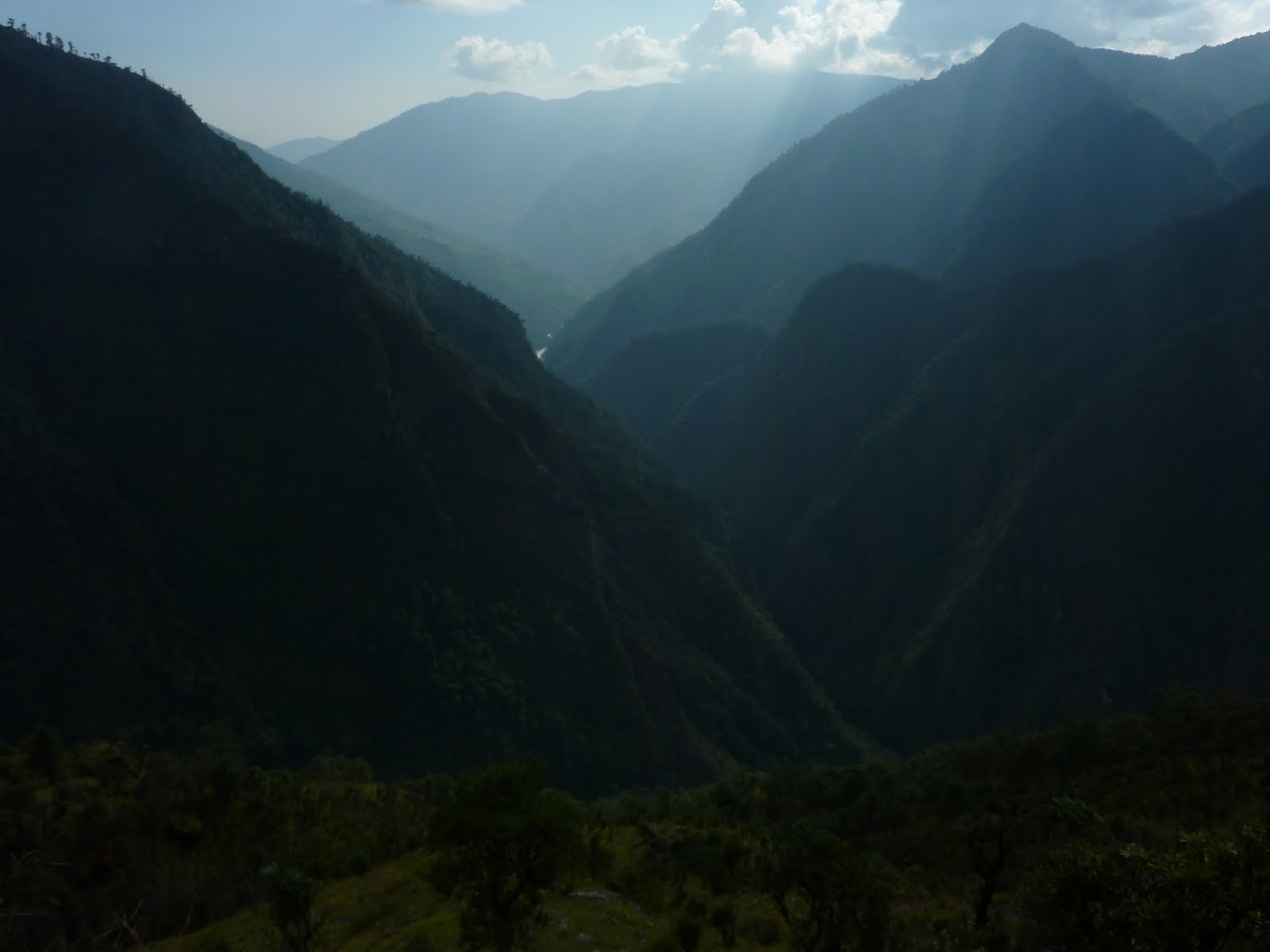
The two 12 hour days of hiking from Phaplu took us up to 9,000ft. and down to the jungle at 2,500ft. repeatedly. The trail was never flat. It was possible see to where we would spend the night shortly after starting, only to arrive there 10 hours later.

Our Rias porters, these guys carried our 30kg duffle bags in sandals using a tumpline while we carried our 20kg packs. The trip from Phaplu to Lukla in two days would have been impossible without their help.


Two goraks above Namche.


Sherpa culture is a mixture of ancient ways (notice the stone carvings) and more modern ones Our cook is caught talking on his cell phone as we walk past mani stones.


Two sherpanis harvest late season potatoes in Pheriche.

A hydrolic powered prayer wheel endlessly spins blessings.


Dingboche.


Ben and I acclimating in the Blue Room.

Full moon on Taboche.

Ama Dablam bathing in the moonlight.

Tawoche, Cholatse, and Lobuche.


Kantega North Face.


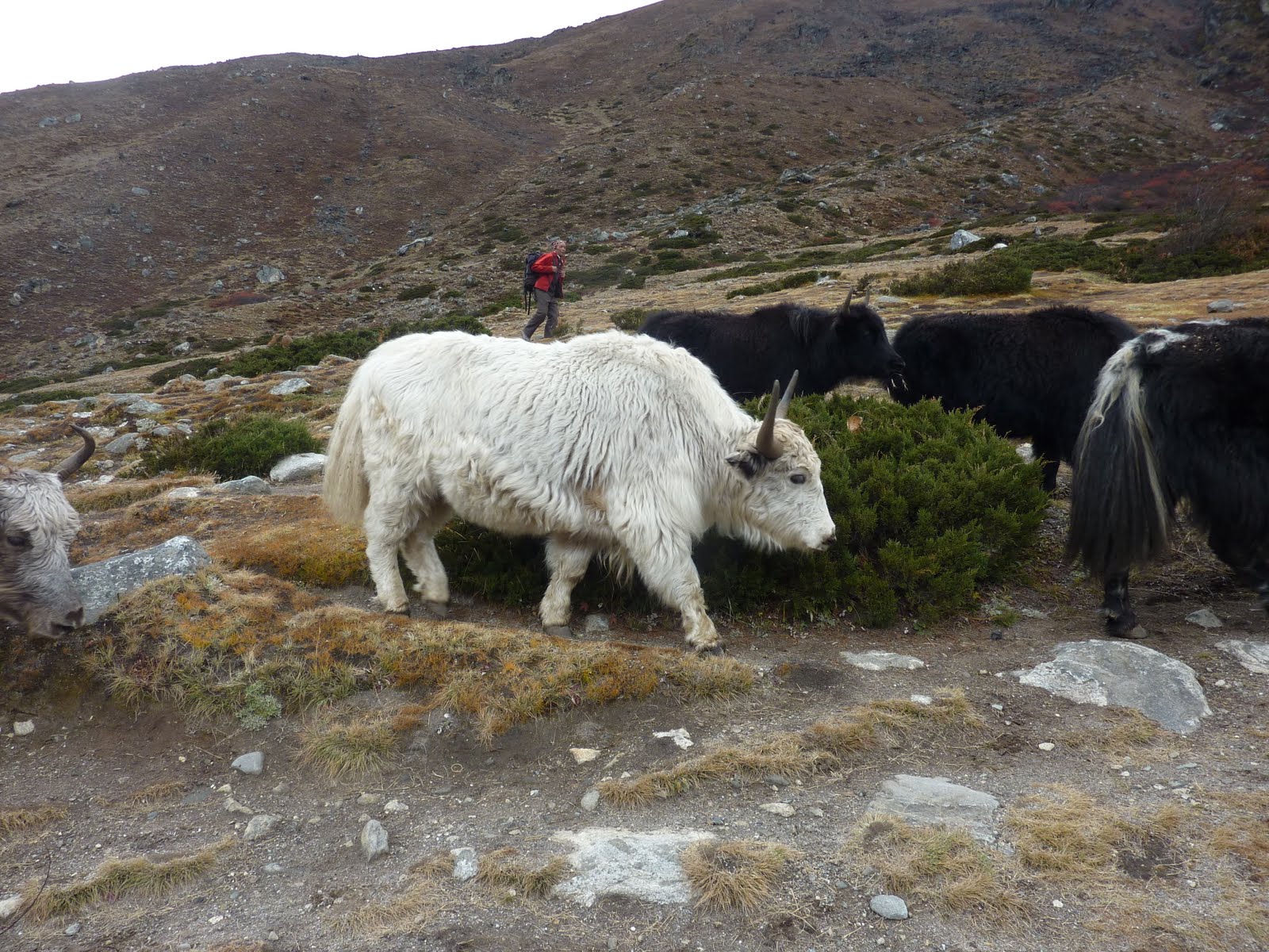
Seasonal Yak herder dwellings.


Chomolungma (Everest) catches the last rays of sun.


Jared excavates the crack on our acclimitization climb.


Ama Dablam.

Jared didn't pose for this photo...

The summit (far left) and false summit of Lobuche East.


Makalu, Baruntse, and Ama.


Jared greeting the new day, Lobuche East's normal route.


 We established a base camp across the lake from Cholatse's North Face. Lots of Dahl Bhat!!

We spotted this line and it was love at first sight. Maybe next time...

SW face of Lobuche East. No need for a route line to be drawn in.

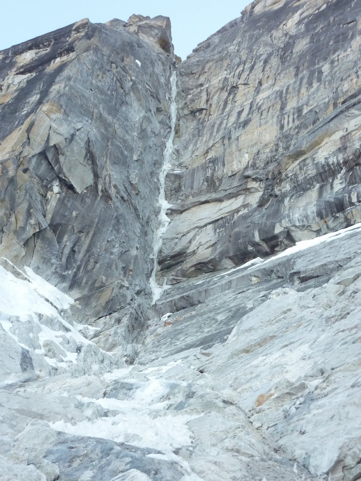

The entry to the weakness.


Our intention was to be off the water ice by the time the sun hit it... We all know that what we want is very different from what we get.


Jared looking pensive (hour 17) after climbing through bicep cramping and over 2,000ft. of steep water ice and mixed terrain.

Rest day in Namche! The prayer wheels were turning on this beautiful day.


Cholatse from the West.

Gokyo lakes.


Chomolungma, Nuptse, and Lhotse as seen from Gokyo Ri.

Pherilapche with our attempted ice line just left of the vertical cairn.


Detached curtains with a lot of mountain above. We walked away.

BAIL!!!

The jet-stream raking the top of Nuptse, Lhotse, and Chomolungma.


The local avians had no idea how hungry we were...

Mark brandishes his sword with gusto.
During the 8 days we spent waiting for a flight out of Lukla, Mark kept the Rockshee coming.